Special Collections, Maps
50 Features of Special Collections: The Many Faces of Davis Maps
32/50
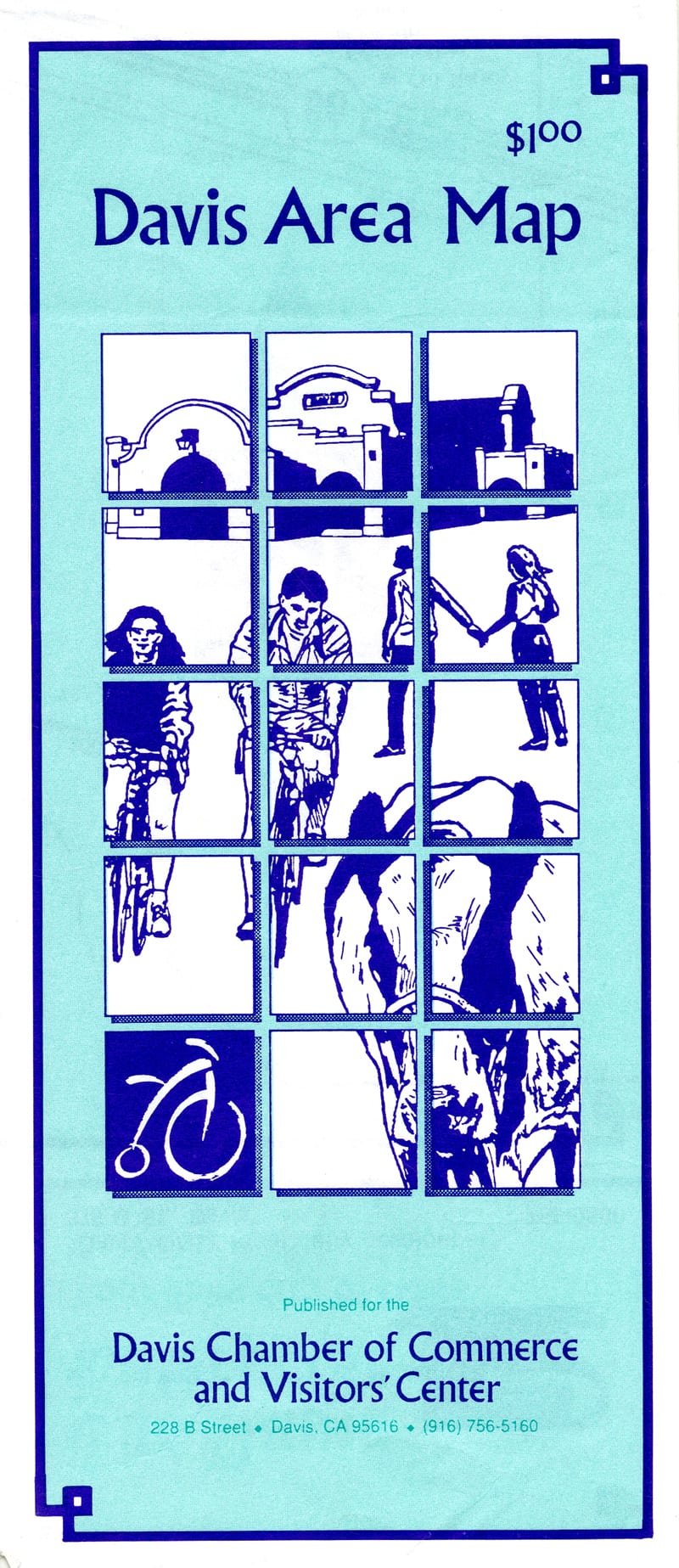
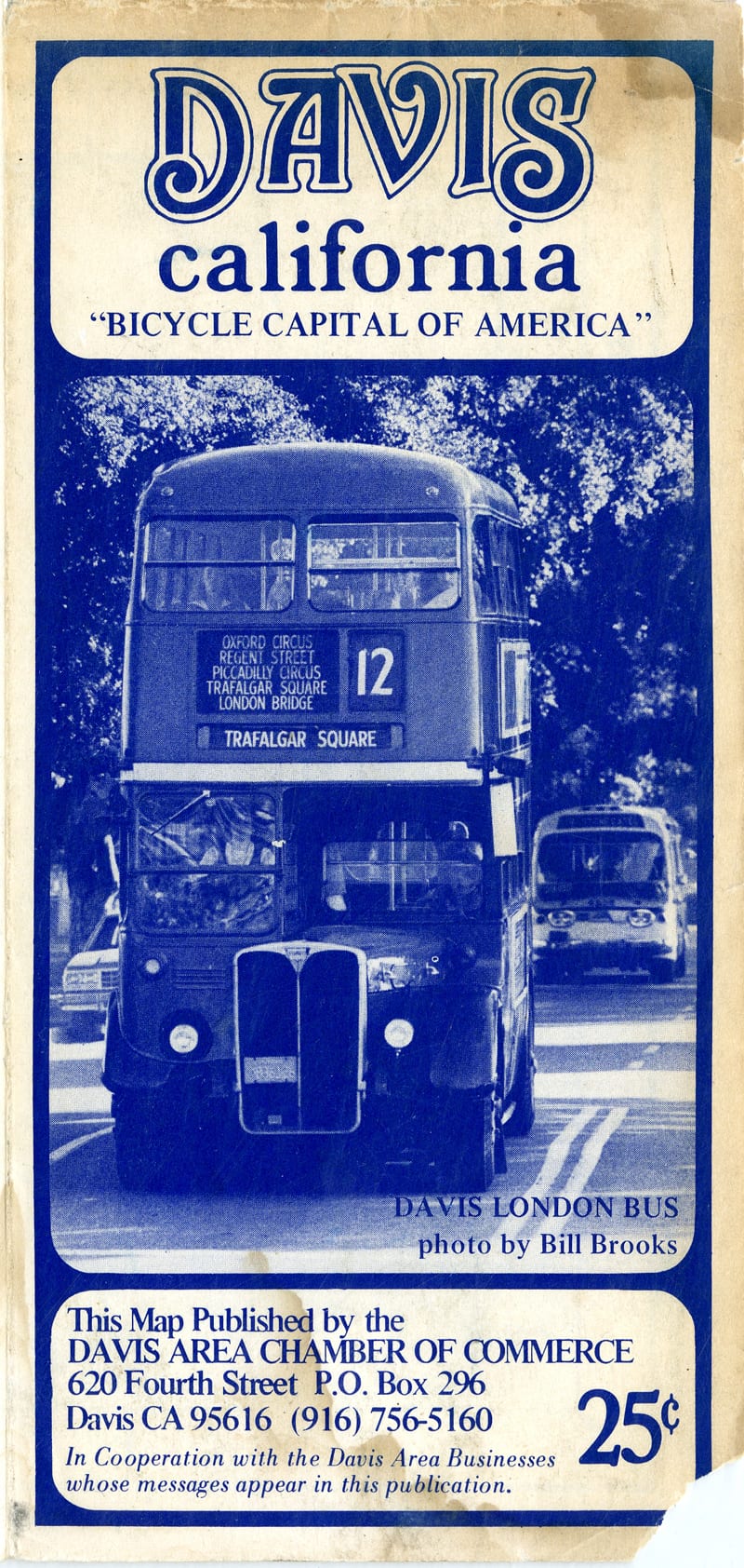
The Map Collection include maps of the local area and California communities. Various types of maps show different aspects and concerns which are important to the development and growth of a city or region. The Map Collection includes street maps, zoning maps, school districts, voting precincts, census tracts, bus routes, bicycle paths, and flood zones. Maps printed over a period of time show historical changes in city boundaries, street names, neighborhood development, park and recreation facilities, schools and city buildings, and sometimes names of buildings such as hospitals.
In the spirit of celebrations, Special Collections is also honoring the Centennial of the City of Davis. Let’s celebrate with the panel covers of some Davis maps available in the Map Collection.
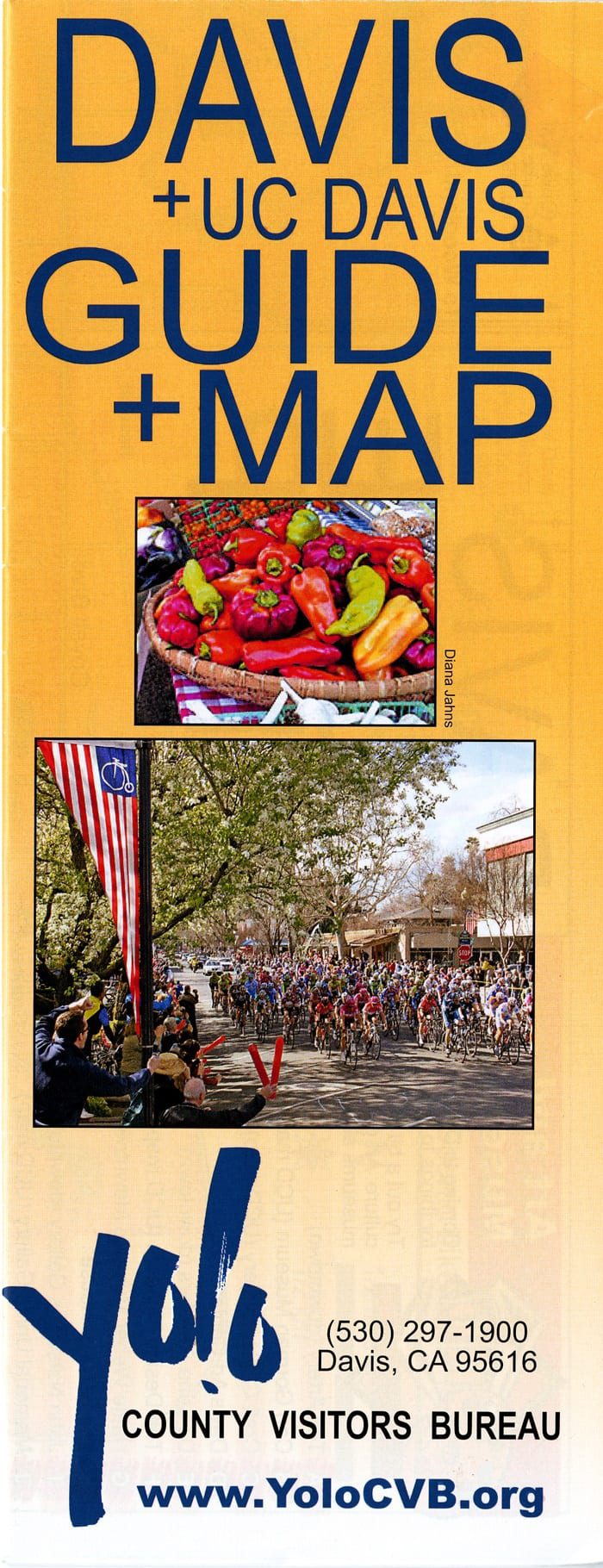
Davis + UC Davis Guide + Map
MAP G4364.D3 2011 .Y6

Street map of Davis
MAP G4364.D3 2004 .T2
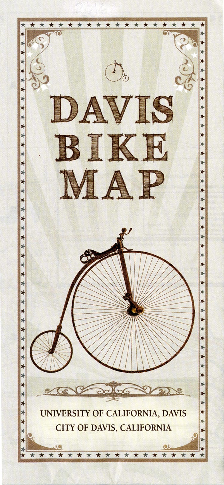
Davis bike map
MAP G4364.D3E63 2016 .U6
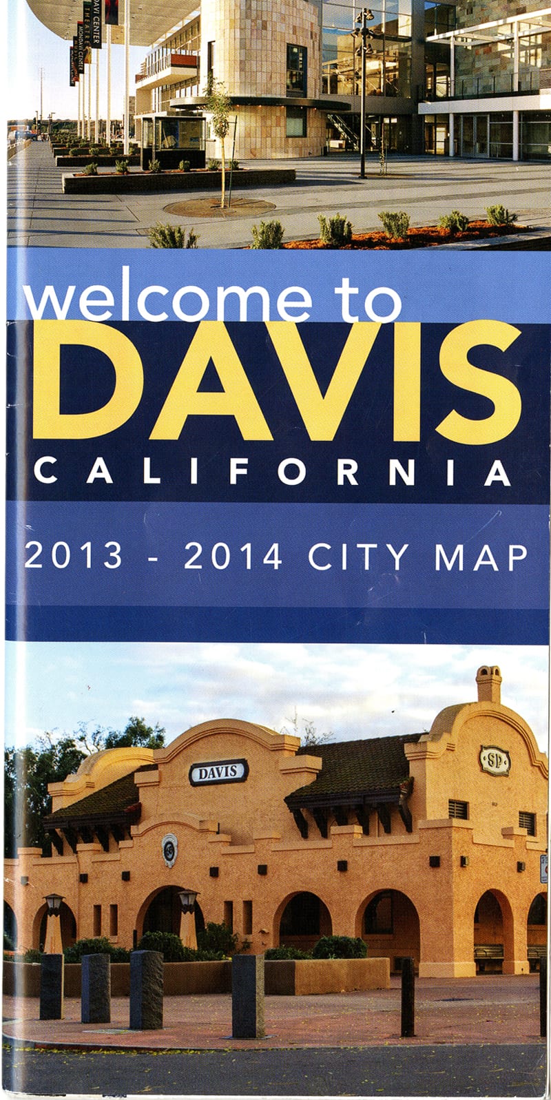
Welcome to Davis, California
MAP G4364.D3P2 2013 .D3
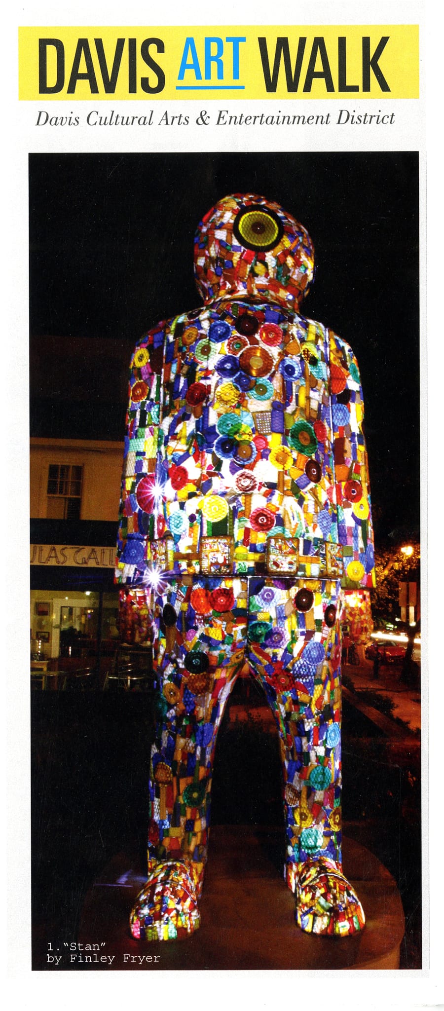
Davis Art Walk
No Call Number (Ask staff for help)
Davis, California : home of UC Davis
MAP G4364.D3P2 2015 .D3

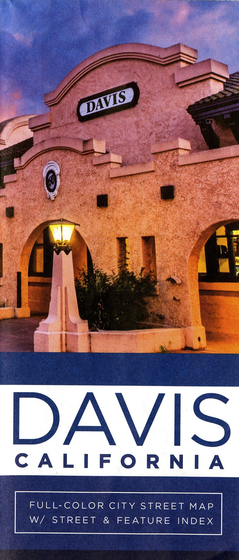
Map of Davis
MAP G4364.D3 1988 .C6
Map of Davis
MAP G4364.D3 1990 .C6
Map of Davis, Yolo County, California
MAP G4364.D3 1980 .C6
The Map Collection room is located on the Lower Level of Shields Library. Doors open to the public Monday-Friday, 1:00-5:00 p.m.
Contact the Special Collections Department for map related questions by email at speccoll@ucdavis.edu or by phone at 530-752-1621.
Post created by Dawn Collings and Kristoffer Landes